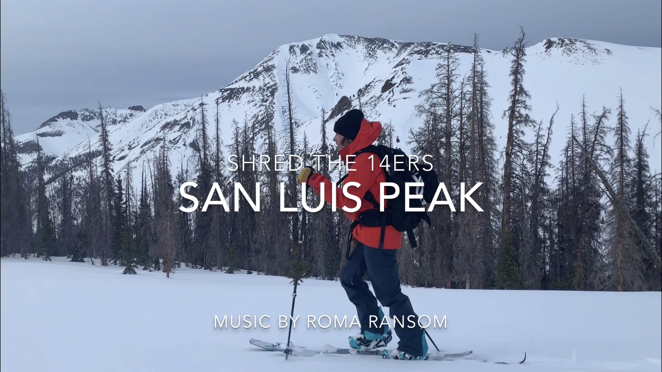
San Luis Peak
Yale to San Luis Peak
After Yale on Tuesday, we took a rest day in hopes the forecast of 4-6in at/or around 13k near San Luis Peak for Wednesday would provide. We spent the morning at the Cottonwood hot springs, making sure to take two separate soaks, with a nice breakfast, computer charge and internet session in-between to get our twenty dollars worth. We highly recommend these hippy-dip hot springs, just outside of Buena Vista.
After our heavy lurk at Cottonwood HS, we drove from BV South, past the Sangre Range, (which is looking stacked with snow rn) down East of Alamosa to Del Norte, where we stopped at the 3Barrel Brewery for some cheap pizza (delicious) and craft beer. I got the coconut Brown ale. It felt tropical.
From Del Norte we made our way to South Fork where we turned right onto the 150 headed West to Creede. The drive from South Fork to Creede has some sort of Colorado magic. It feels as though you are transported in time into a simpler place. You could easily imagine being in a covered wagon, on horseback, or simply just walking thru the tranquil valley. The barely formed Rio Grande river cuts through a small canyon with big Pines, Conifer, Evergreen, and a few Cotton Woods along the banks of the river. Then the canyon opens to rolling fields and there you find Creede towards your North butted up at the bottom of a couple of rolling mountains and a narrow canyon. Creede is an interesting little old mining town with a mix of redneck 4wheel/razor, Texas type, and a splash of weird hippy, artsy, hip, “Colorado” crowd. Maybe some people who came here to get away from it all, and some people who are stuck and can’t seem to get away in the first place.
San Luis Peak
The book said 10 miles from the trail head round-trip. Seemed mellow enough. We drive thru Creede hoping the road is plowed enough to get to the trail head. We follow Dav and Lou’s path up towards Equity mine, but we only got about a mile up the road before we hit snow and can’t drive any further. We are supposed to drive 7.5 miles from town, to the trail head. We look at each other and the mileage and realize we are over 16.5 miles away from San Luis Peak, one way.
We head out of the narrow shady canyon of West Willow to figure out what to do next. We catch the first right which heads up a hill called Bachelor Loop. We pass the cemetery, drive another mile or so and find a nice flat pullout, where we take the opportunity to contemplate our choices, a high camp or a really, really long day. I look on my phone at the Trails app that I have been using lately and pull up the San Luis Peak trail. I hit directions and it gives me two options to get to the trailhead. One, the way past Equity Mine, which we just got shutdown on, and another route, on the road we had just pulled off of. It looks as though, Bachelor loop turns into CR504 which eventually meets up with the first road we got turned around on and ends at the trailhead.
We make our way up the dirt road lightly covered with about an inch of snow. We see some big tracks in the snow and as I ask what they might be we see in the distance three big animals, moose. One with a nice rack still, and it looks as though we might have even stumbled upon a pregnant mother. The male turns back to size us up, sees he is no match for our giant truck, and keeps walking down the road.
We slowly follow the moose kindly asking for them to get out of the road, but it seems as though the moose have no interest in going over the three and a half foot high snow banks into the woods. We herd the moose as gently as we can for over 2 miles. Passing a rouge mining operation, which seems to still be in use and a house where the moose seem to be living, because that is where they finally turn off the road into the driveway.
We find road CR503 to the trail head. It’s covered in snow, and probably won’t be dry for another month or so. We are about 3.5 miles from the trail head now. We are in for somewhere around a 17+ mile day. We pop the camper get our stuff ready and set an alarm for 6 am, hoping to hit the road by 7am.
6am rolls around and nobody is moving. Nicky and I are in a deep cuddle session and the cold of the morning is actually somehow colder in our soft-top camper. 7am comes quick. We leave camp at 9am. Two hours behind schedule. No one says anything though. We know it’s going to be a long day, but we don’t know how long quite yet.
I want to make a coffee book called, I Should Be Snowmobiling This; A Skinners Diary of Regret. Three miles of flat road, sounds easy, but it takes a toll. By the time we make it the trailhead its approaching 11am.
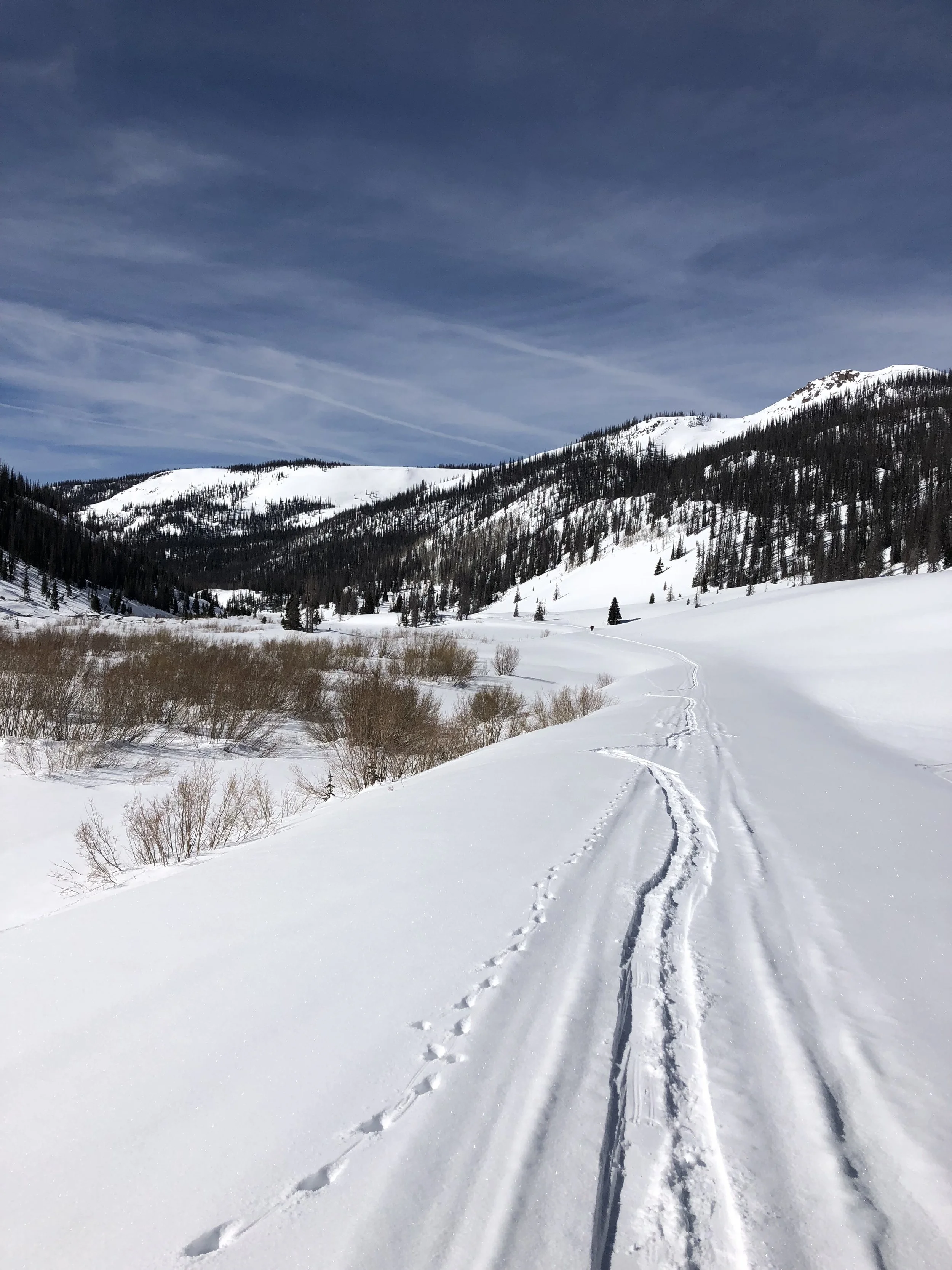
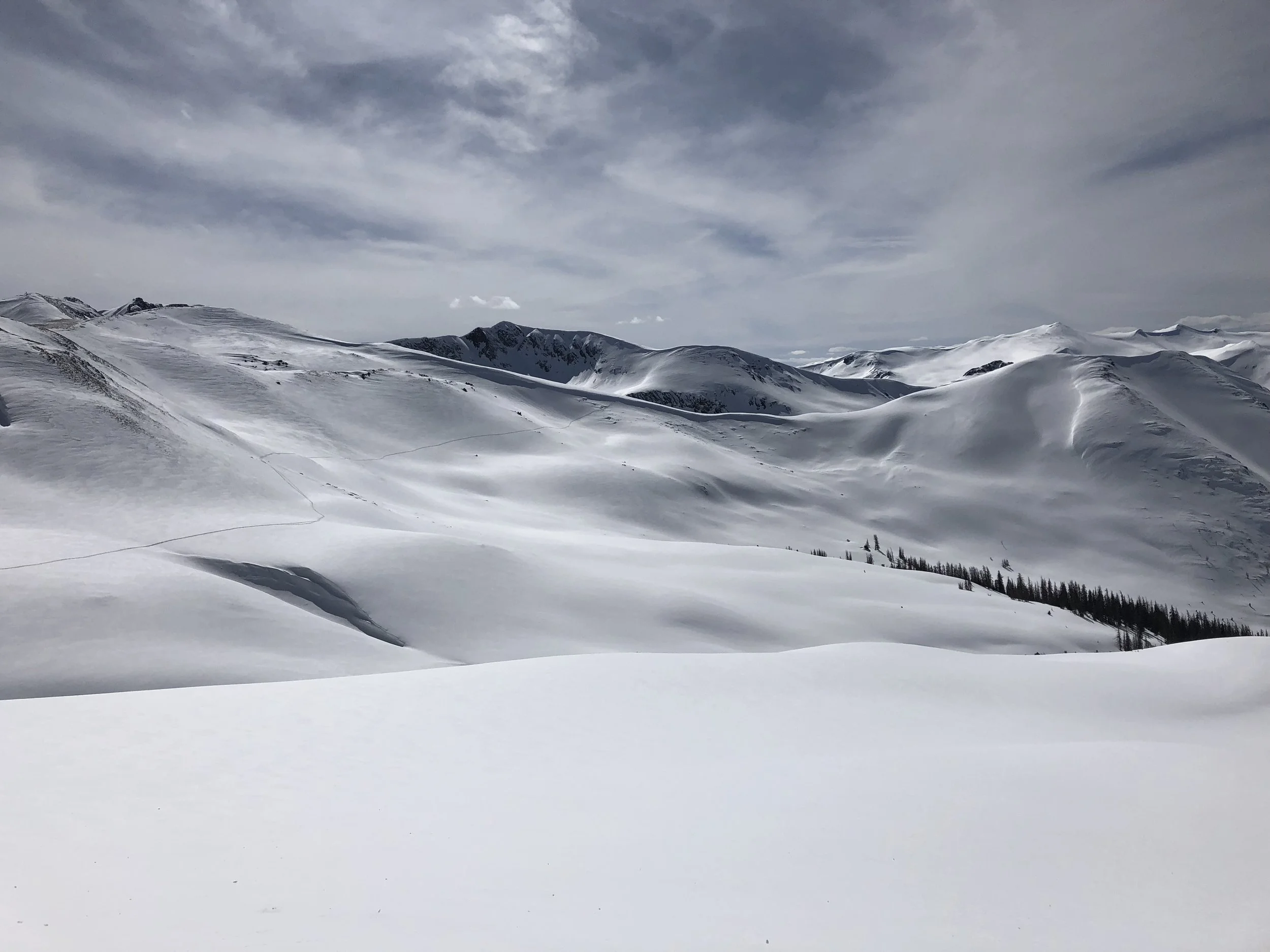
From the trail head we gain a valley and from there we head up the obvious drainage on the right, the whole time, wondering when we were going to get a glimpse at San Luis Peak and her Yawner gullies.
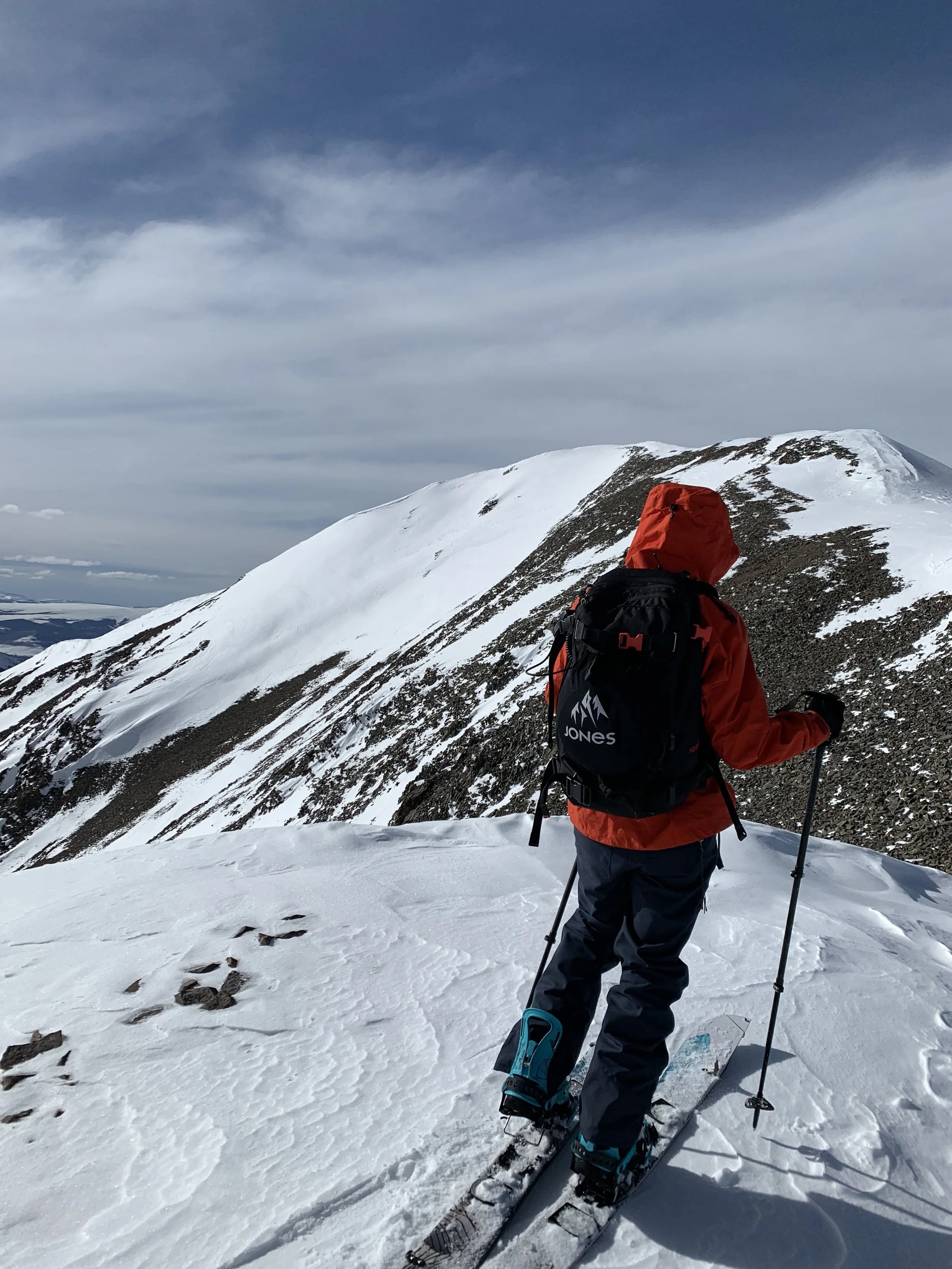
At the top of the drainage we were on a saddle looking at the giant mother of a peak that is San Luis Peak. She was so far away. Two valleys stood in between us, and The Yawner gullies on her West face. After some contemplation, we decided that we were here now and we already covered 6 miles at this point so we might was well go for it.
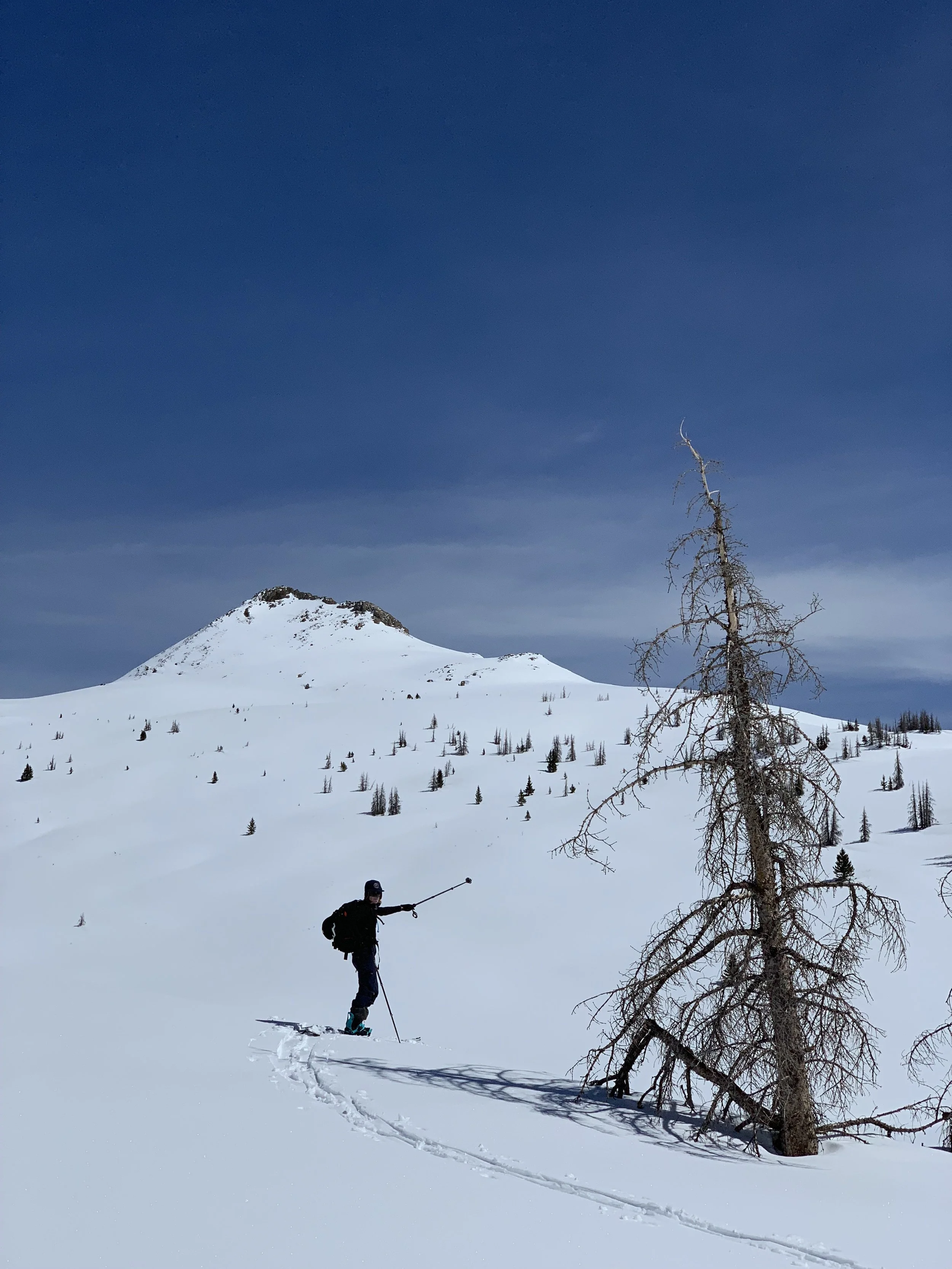
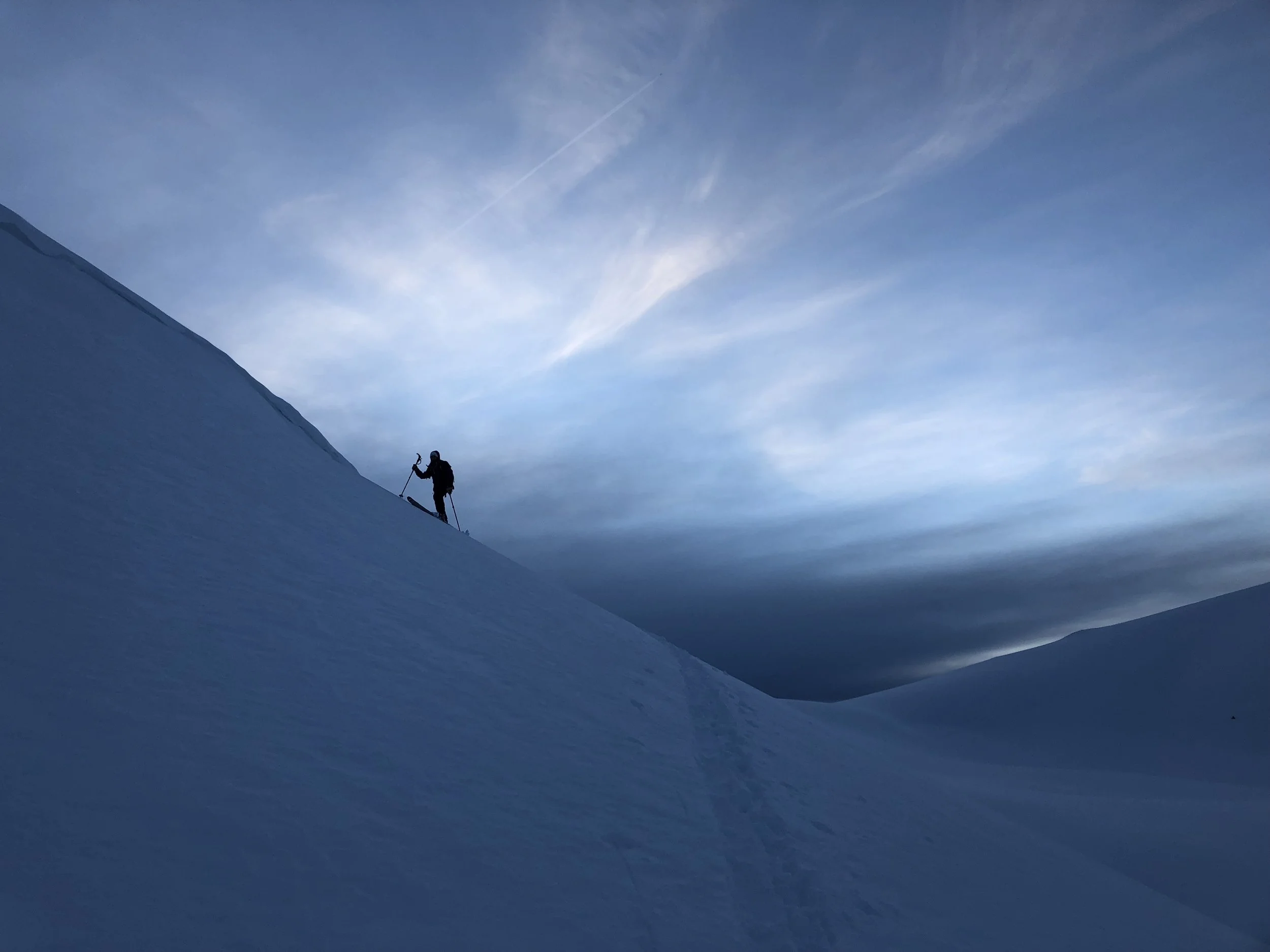
Fom our first saddle gained, we navigate a cornice on top of the drainage we came up on and are lucky to have a couple 100 feet of great turns! When we look back up at the cirque we are under, we are amazed at skiing potential. Yet again, we are struck by the promise of new lines, but promptly remembered how deep we were, and the time it took to get back here. No mistakes could be made as it would make for a very grueling rescue.
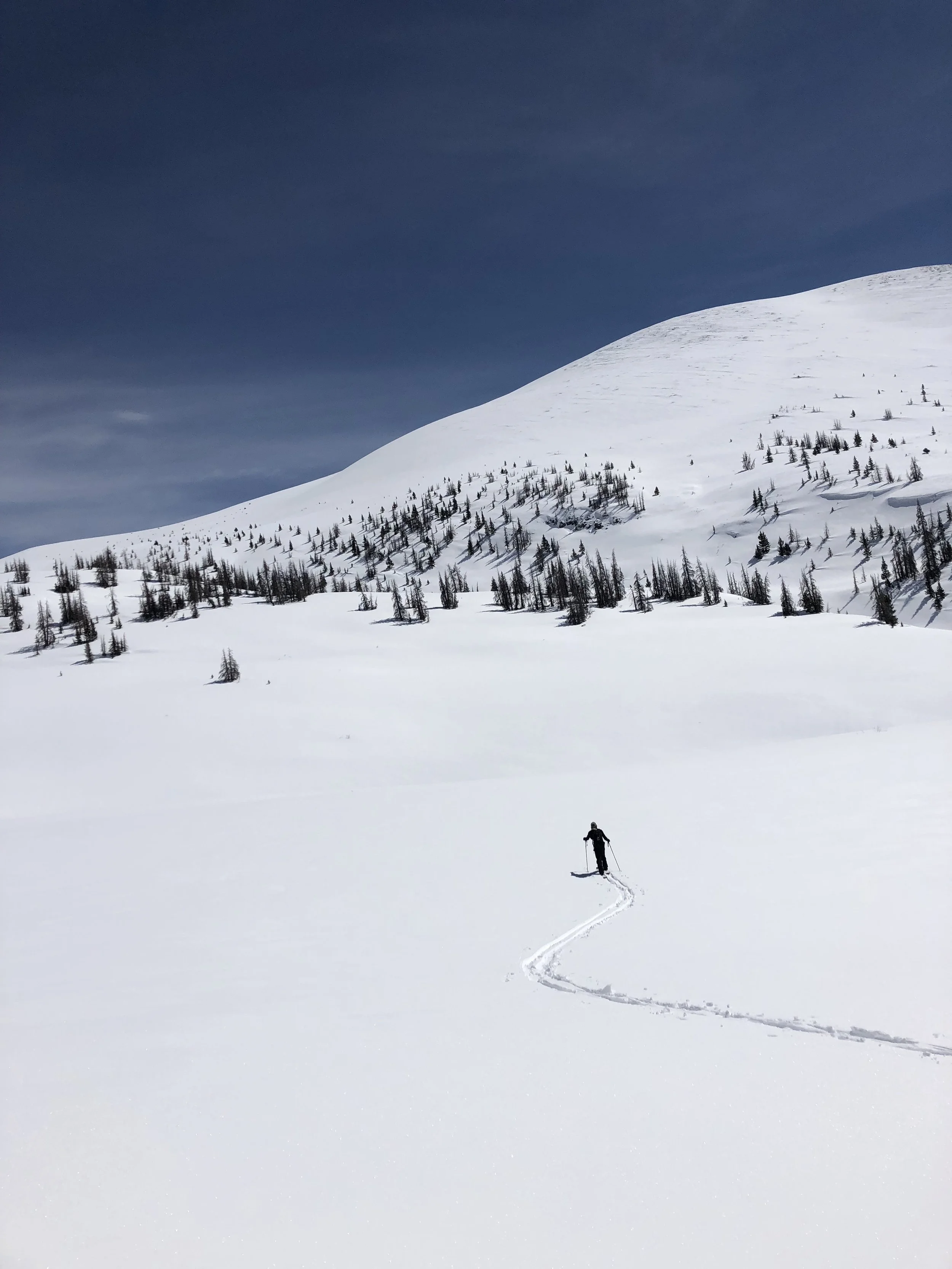
Luckily we were able to skin the whole way, but that last 900 vertical feet kicked our ass after the last 8.5 miles we had already skinned. It took us close to an hour to gain the ridge to the summit. Looking back the way we came we saw the loaded north faces of all the valleys across from us. If we had only just skied to the bottom of the Gullies and boot packed up we would have gotten some amazing powder also.
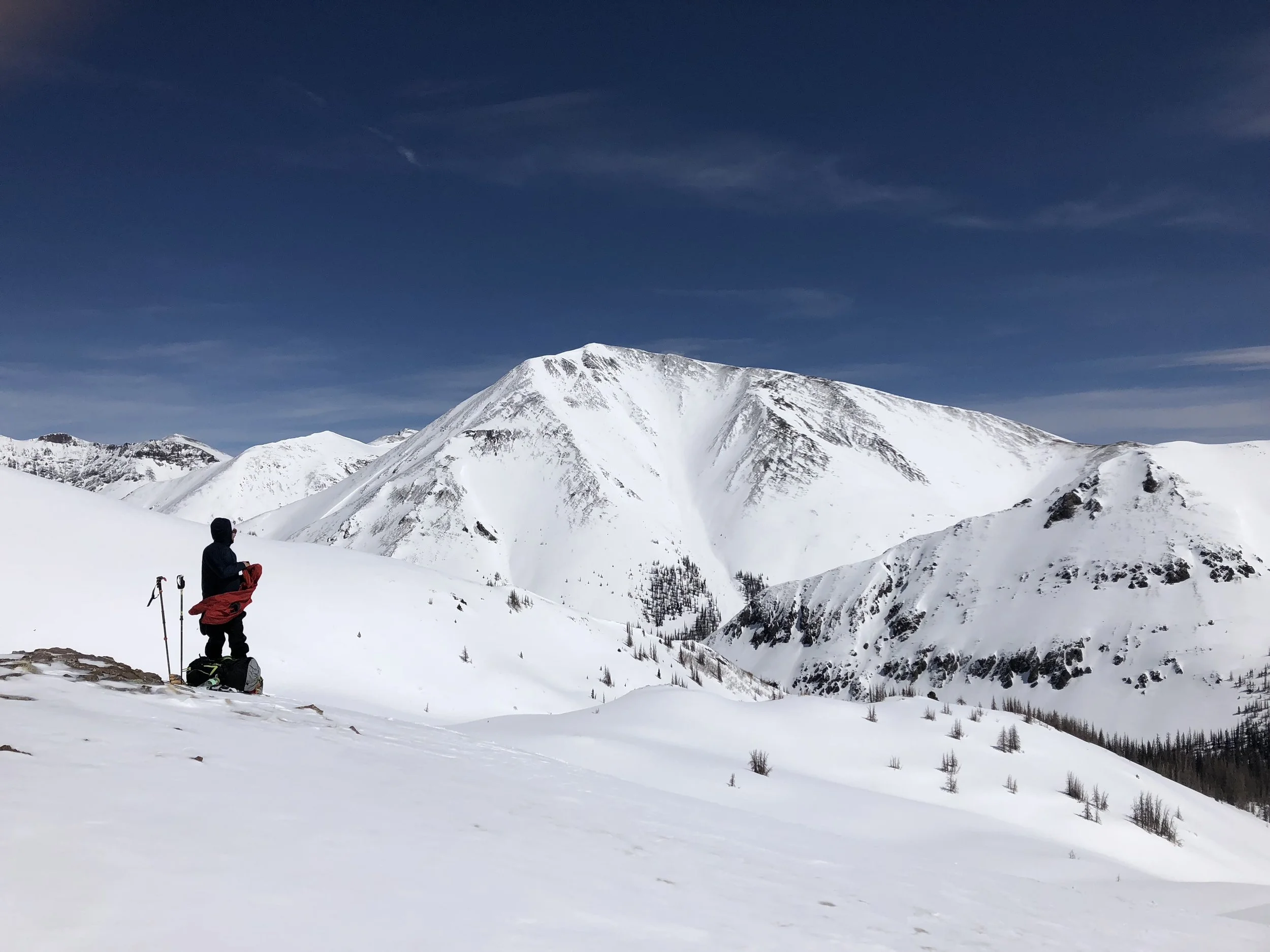
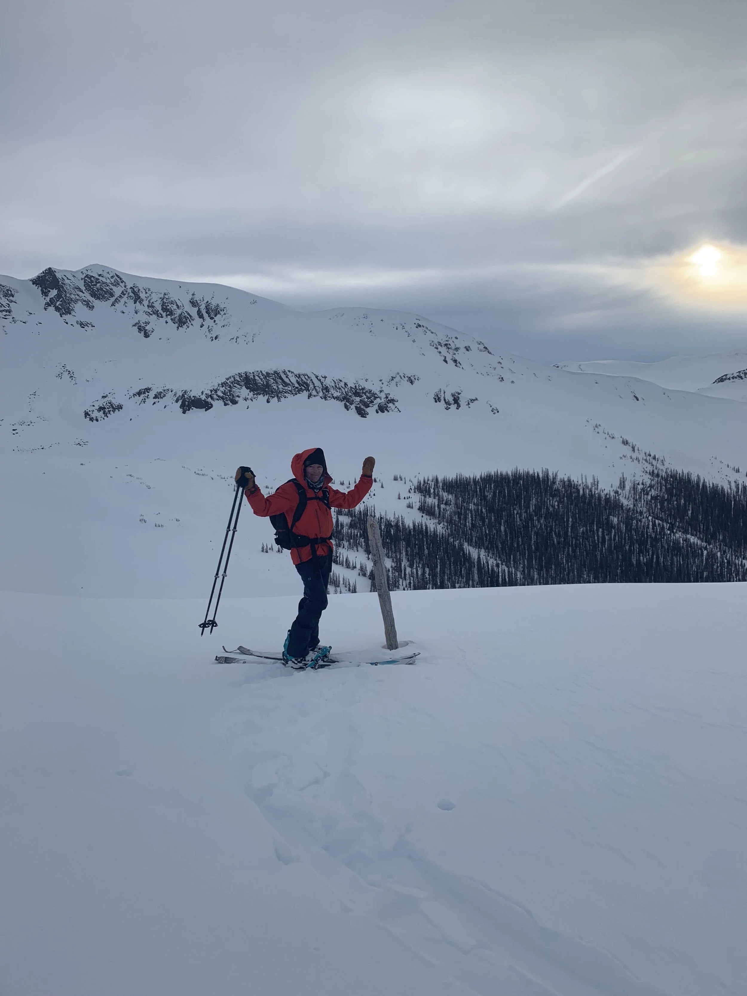
At the summit, we quickly changed over, had our Summit kiss and rode down from the summit to the Yawner Gullies. Nicky chose a line to the skiers right of the gully I rode. We both made long sweeping turns enjoying the ride down as much as our legs could handle. Once at the bottom, we knew we needed to keep moving for we still had 9 miles to cover. We put on our skins and made our way up the beautiful snow on the north face of the first basin. Reminded again of the snow we had missed out on.
Keeping our skins on we side hilled and traversed the next drainage staying as high as possible. We witness an amazing blue Colorado sunset and hiked, side-stepped, and slide the rest of the way to our camper, arriving at 9:30 which was well past dark. What a day!