MT. Yale
The Beginning of the End.
We packed up the camper back in Aspen with no real concrete idea of where we were headed. We aren’t big planners. The plan was, get all our stuff in the camper and head to the snow. We have enough peaks left across the state that no matter where we go we are bound to run into a 14er we haven’t ridden yet. The only thing standing in our way of total freedom is the chance of a cash purse prize at the Trick Ditch Banked Slalom at El Dora next Saturday.
As we left Glenwood Springs, we stopped for Pizza at Zaa by the high school (delicious pizza) and narrowed our choices down to either the Front Range, Bierstadt, Evans, and Longs, or the Mosquito and Northern Sawatch range. Also on the table is a long drive down to San Luis peak, but it looks like snow on Wednesday so we contemplate letting that one get some snow so we might have a chance at some good conditions in the Yawner gullies.
At the Minturn exit we decide to head south towards the Collegeites in the Northern Sawatch range. We still have Sherman, which is easily accessed near Leadville but when we drive by it, its West face looks as bad as it can get this time of year; wind blown to the rocks with only a few patches of snow, nothing continuous looking. We’ll need to ride some sort of east aspects on a lot of these mountains. The winds from the West blast the ridges and west faces leaving only a few gullies of snow.
We head further South towards Buena Vista. We rule out Harvard, Columbia, and Huron because the roads are still snowed covered and can add anywhere from 2-10 miles onto our already long walks. We might have to head back to aspen soon and get the snowmobile. We decide on Mt Yale. With a 4 mile approach and a 4,000 ft gain seemed like a good start to our season.
Mt. Yale
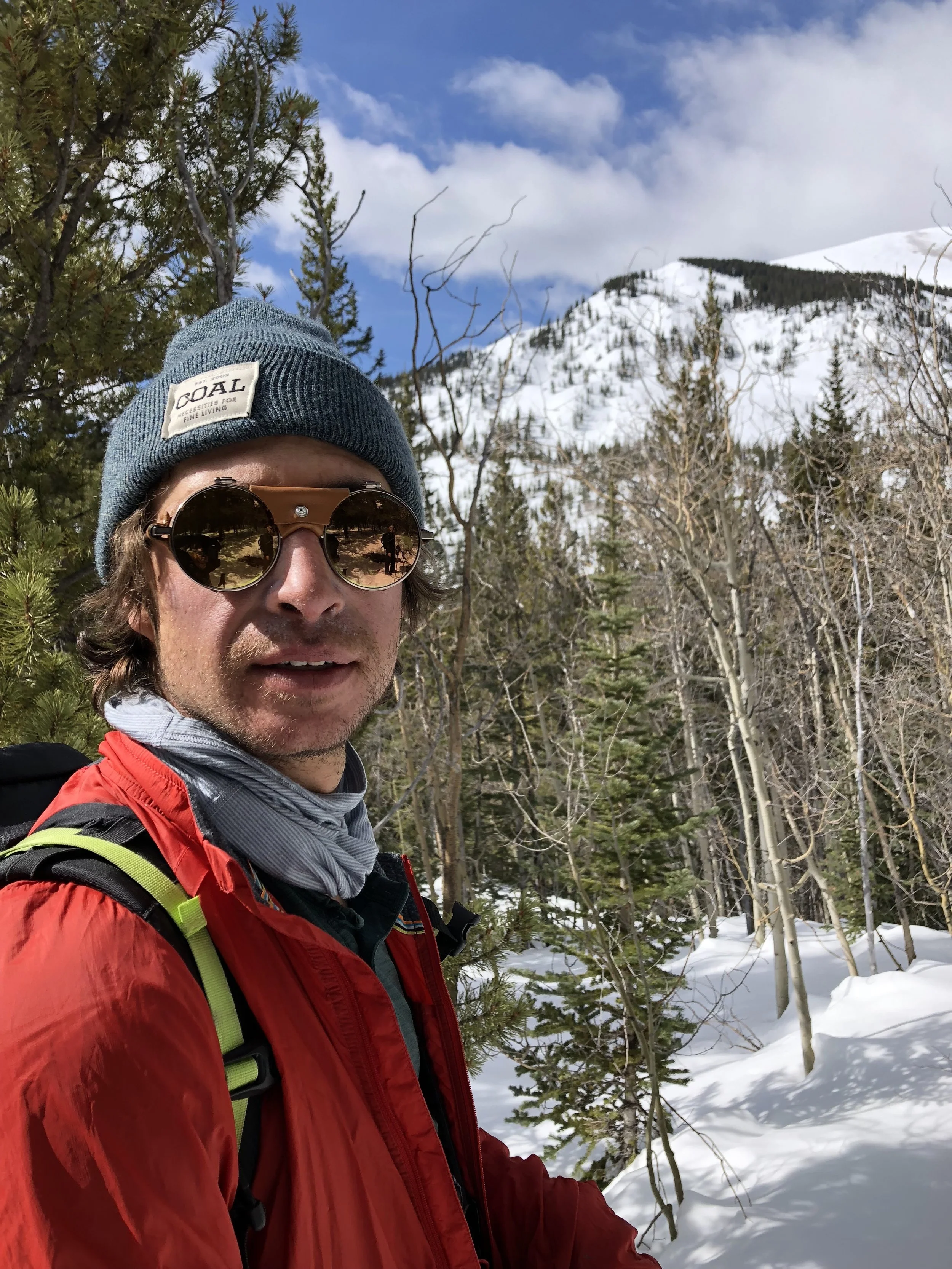
The first two miles were mellow skinning on firm snow from the trailhead. With an elevation gain of only about 1000ft, it was relativity flat those first two miles and we made good time. The trail started in some thin pine forests, typical of Colorado at about 10,000 feet, then into a young aspen groove and finally up near 11500 ft into an older pine growth. I love all trees, but not all trees equally.
A few hundred feet later we were above tree line and we could catch a glimpse of Mt. Yale’s rocky peak poking out from behind the creek bed. We ditched the trail here and booted straight up Denny Creek drainage. At the top of the drainage we encountered some nice blue ice that we were able to skirt around hastily without crampons. Later we saw Davenport came up and down this same creek bed and also had the blue ice so it must form here most seasons.
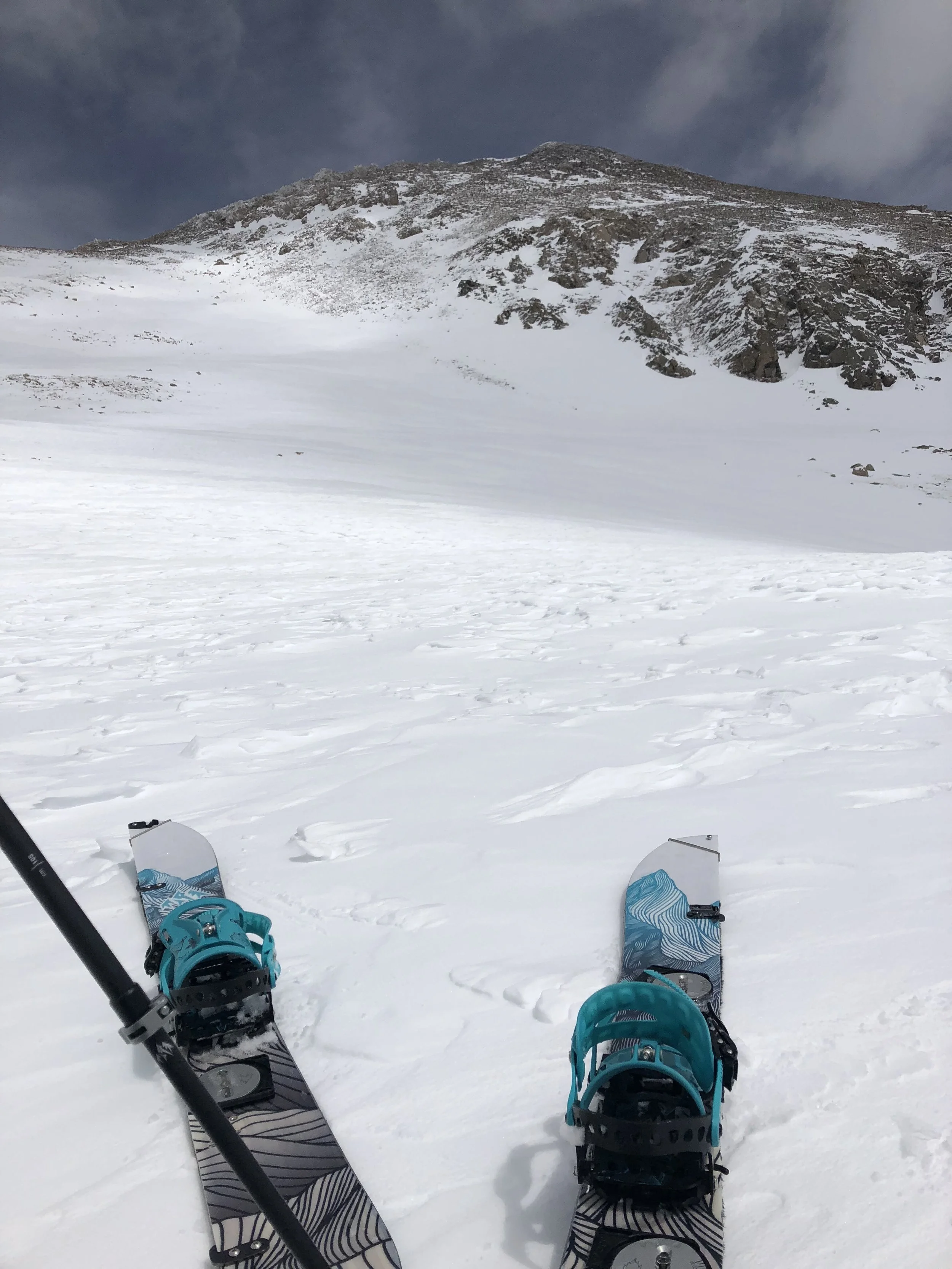
Once we were up the drainage we were at the base of Mt. Yale at about 13000’. We saw what we expected on that West face; a lot of rocks. We would have to ride the East face into Silver Basin and then come back over the ridge back into the Denny Creek drainage. We stopped for some PB&J’s and then put our skins back on to get about 800 more feet of climbing before booting the last of rocky face to the ridge. At about 13,000’ is when I notice how much more effort it is to walk uphill. Today was no exception. I had been feeling really good before 13k and then I was just forcing myself to keep moving. Either way we made pretty good time and got to the top just as a storm was coming in.
We rode the East face, which was holding good snow but had horrible visibility and then made our way back to Denny Creek on the West side of the mountain. From the ridge we got about 1000’ of good snow peppered with a few rocks and In the Ice gully we were treated with about 500k of pow turns. From there we hit spring corn and near the bottom of the trail we were in the slush of it.
Overall I don’t think we could ask for much better conditions on yet another uneventful 14er. Just glad to tick this one off, and always glad to be outside with my friends.
Took us about 7 hours total, 8 miles with a elevation gain of 4,012 ft.